A Parametric-Simulation Method to Study the Interconnections between Urban-Street-Morphology Indicators and Their Effects on Pedestrian Thermal Comfort in Tropical Summer
Abstract:
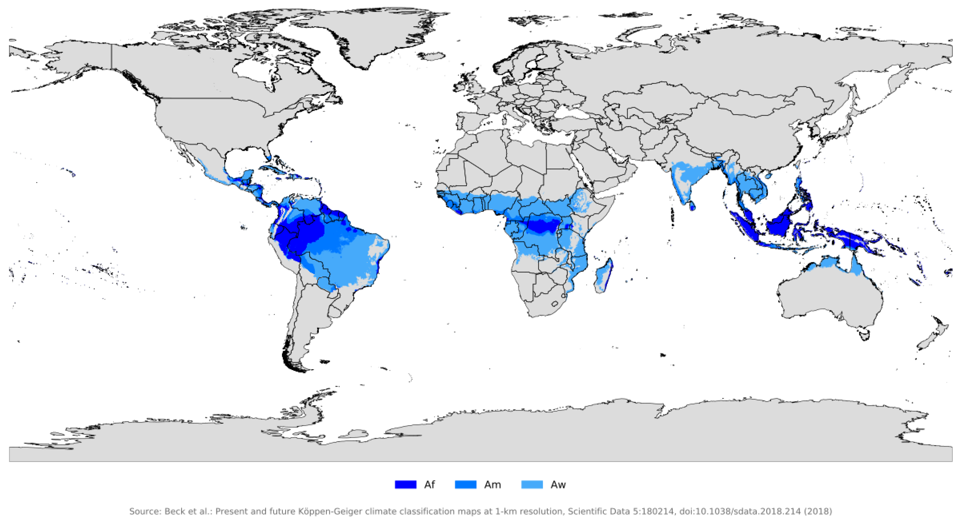
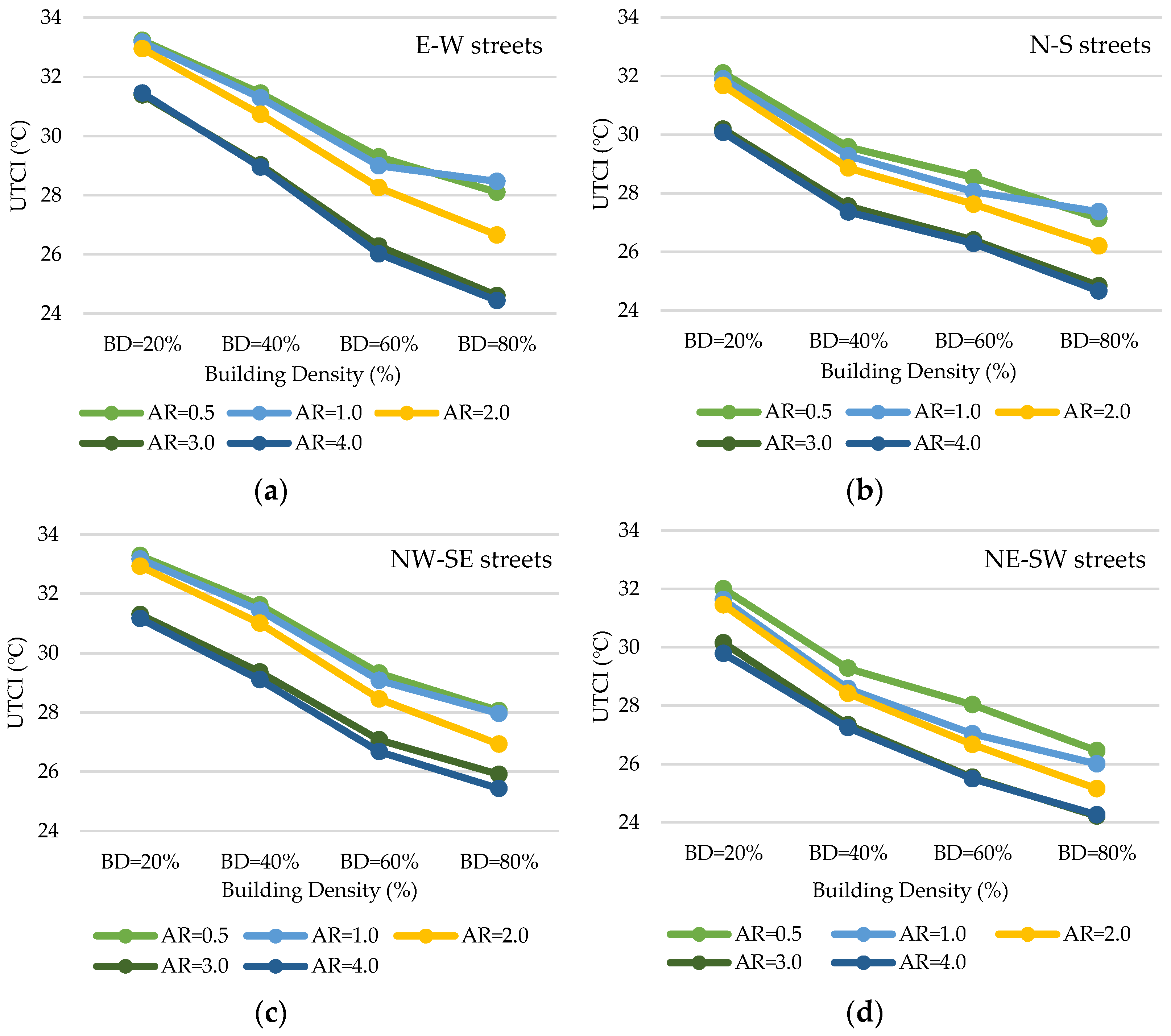
Numerous studies have explored the impact of urban morphology and geometry on outdoor thermal comfort, intending to provide practical guidelines for urban designers. However, research findings have been inconsistent, in part due to differences in the climatic settings and the investigated heat-stress indicators. This study proposes a parametric-simulation framework to observe the behavior of thermal comfort according to the possible combinations of building density (BD), street aspect ratio (AR), and orientation. Conducted specifically under a hot-and-humid tropical-savanna summer condition, the study found that building density and aspect ratio were negatively correlated to the Universal Thermal Climate Index (UTCI), with R2 coefficients of 0.99 and 0.91, respectively. The UTCI was improved by a 1.0 °C per 10% increase in BD and by a 1.02 °C per unit of AR increase. The performance of street orientation was significantly influenced by wind direction, and strong inter-influences were found between the three morphology factors. These findings are useful guidelines not only for designing urban morphology but also for intuitively identifying the need for complementary vegetation and cooling materials when morphology indicators cannot reach their efficiency targets (e.g. when AR < 3.0 or building density is limited by local regulations and project specifications).
Keywords
Tropical Climate; Outdoor Thermal Comfort; Morphology Indicators; Parametric Simulation; Design Guidelines.
Comments
Post a Comment